G8977 : Houses on the N56 east of Glen
taken 12 years ago, near to Mountcharles, Co Donegal, Ireland
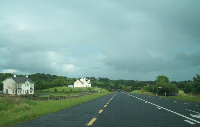
Houses on the N56 east of Glen
The signpost on the right gives direction to Edrim Graveyard.
![Creative Commons Licence [Some Rights Reserved]](https://s1.geograph.org.uk/img/somerights20.gif)
|
· Find out How to reuse this image ·
Share:
|
|||||
| Start a discussion on G8977 | Suggest an update to this image | Contact the contributor | |||
Loading map... (JavaScript required)
- Grid Square
- G8977, 5 images (more nearby
 )
)
- Photographer
- Eric Jones (find more nearby)
- Date Taken
- Friday, 27 July, 2012 (more nearby)
- Submitted
- Thursday, 8 November, 2012
- Geographical Context
- Subject Location
-
Irish:
 G 892 777 [100m precision]
WGS84: 54:38.8834N 8:10.0735W - Camera Location
-
Irish: G 890 777
- View Direction
- EAST (about 90 degrees)
Image classification(about):
Geograph
This page has been viewed about 30 times.
View this location:
KML (Google Earth) ·
Google Maps ·
Bing Maps ·
Geograph Coverage Map ·
More Links for this image
·
Bing Maps ·
Geograph Coverage Map ·
More Links for this image