H0170 : Distance sign on the R232 some 8 miles west of Pettigo
taken 12 years ago, 8 km ESE of Laghy, Co Donegal, Ireland
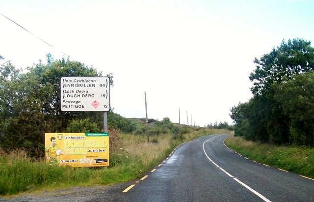
Distance sign on the R232 some 8 miles west of Pettigo
This sign lies between Loughs Asmuttan and Lough Aguse More.
![Creative Commons Licence [Some Rights Reserved]](https://s1.geograph.org.uk/img/somerights20.gif)
|
· Find out How to reuse this image ·
Share:
|
|||||
| Start a discussion on H0170 | Suggest an update to this image | Contact the contributor | |||
Loading map... (JavaScript required)
- Grid Square
- H0170, 4 images (more nearby
 )
)
- Photographer
- Eric Jones (find more nearby)
- Date Taken
- Friday, 27 July, 2012 (more nearby)
- Submitted
- Monday, 12 November, 2012
- Geographical Context
- Subject Location
-
Irish:
 H 011 701 [100m precision]
WGS84: 54:34.7832N 7:58.9500W - Camera Location
-
Irish: H 011 701
- View Direction
- East-southeast (about 112 degrees)
Image classification(about):
Geograph (Third Visitor for H0170)
This page has been viewed about 33 times.
View this location:
KML (Google Earth) ·
Google Maps ·
Bing Maps ·
Geograph Coverage Map ·
More Links for this image
·
Bing Maps ·
Geograph Coverage Map ·
More Links for this image