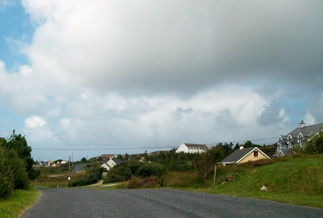
B7418 : Houses on the R259 at Belcruit
taken 12 years ago, near to Kincaslough, Co Donegal, Ireland
![Creative Commons Licence [Some Rights Reserved]](https://s1.geograph.org.uk/img/somerights20.gif)
|
· Find out How to reuse this image ·
Share:
|
|||||
| Start a discussion on B7418 | Suggest an update to this image | Contact the contributor | |||
Loading map... (JavaScript required)
- Grid Square
- B7418, 20 images (more nearby
 )
)
- Photographer
- Eric Jones (find more nearby)
- Date Taken
- Friday, 27 July, 2012 (more nearby)
- Submitted
- Sunday, 9 December, 2012
- Geographical Context
- Subject Location
-
Irish:
 B 744 182 [100m precision]
WGS84: 55:0.6845N 8:24.0065W - Camera Location
-
Irish: B 744 181
- View Direction
- North-northwest (about 337 degrees)
Image classification(about):
Geograph
This page has been viewed about 24 times.
View this location:
KML (Google Earth) ·
Google Maps ·
Bing Maps ·
Geograph Coverage Map ·
More Links for this image
·
Bing Maps ·
Geograph Coverage Map ·
More Links for this image