2013
SH6254 : The Miners' Track, ruined mine buildings and Snowdon
taken 11 years ago, 4 km N of Plas Gwynant, Gwynedd, Wales
This is 1 of 6 images, with title starting with The Miners in this square
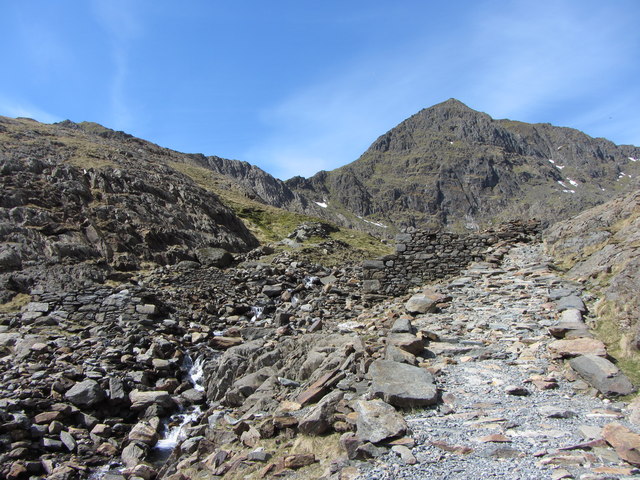
The Miners' Track, ruined mine buildings and Snowdon
 Map © Crown Copyright")
TIP: Click the map for more Large scale mapping
- Grid Square
- SH6254, 149 images (more nearby 🔍)
- Photographer
- Gareth James (more nearby)
- Date Taken
- Thursday, 2 May, 2013 (more nearby)
- Submitted
- Tuesday, 7 May, 2013
- Subject Location
-
OSGB36:
 SH 6206 5458 [10m precision]
WGS84: 53:4.2356N 4:3.6176W - Camera Location
-
OSGB36: SH 6209 5459
- View Direction
- West-southwest (about 247 degrees)