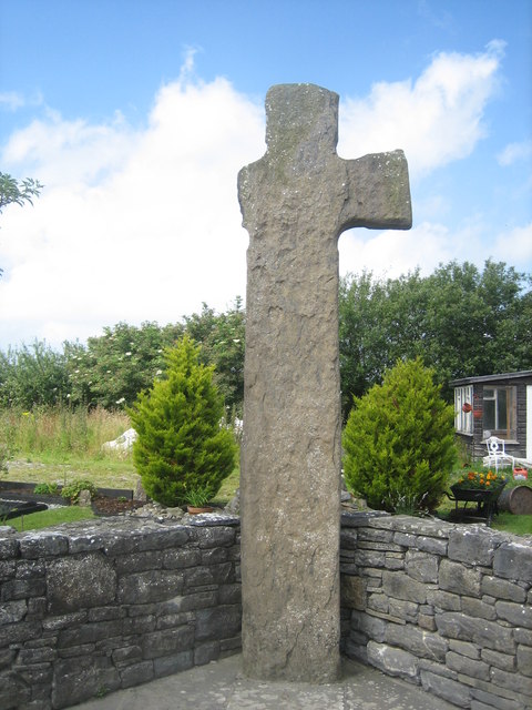
Q8427 : Tonaknock High Cross
taken 13 years ago, 4 km N of Abbeydorney, Co Kerry, Ireland
![Creative Commons Licence [Some Rights Reserved]](https://s1.geograph.org.uk/img/somerights20.gif)
|
· Find out How to reuse this image ·
Share:
|
|||||
| Start a discussion on Q8427 | Suggest an update to this image | Contact the contributor | |||
Loading map... (JavaScript required)
- Grid Square
- Q8427 (more nearby
 )
)
- Photographer
- Bernard (find more nearby)
- Date Taken
- Wednesday, 13 July, 2011 (more nearby)
- Submitted
- Saturday, 31 August, 2013
- Geographical Context
- Subject Location
-
Irish:
 Q 844 270 [100m precision]
WGS84: 52:22.9780N 9:41.8997W - Camera Location
-
Irish: Q 844 270
- View Direction
- West-northwest (about 292 degrees)
Image classification(about):
Supplemental image
This page has been viewed about 62 times.
View this location:
KML (Google Earth) ·
Google Maps ·
Bing Maps ·
Geograph Coverage Map ·
More Links for this image
·
Bing Maps ·
Geograph Coverage Map ·
More Links for this image