J2162 : Lurganure townland
taken 17 years ago, near to Mazetown, Co Antrim, Northern Ireland
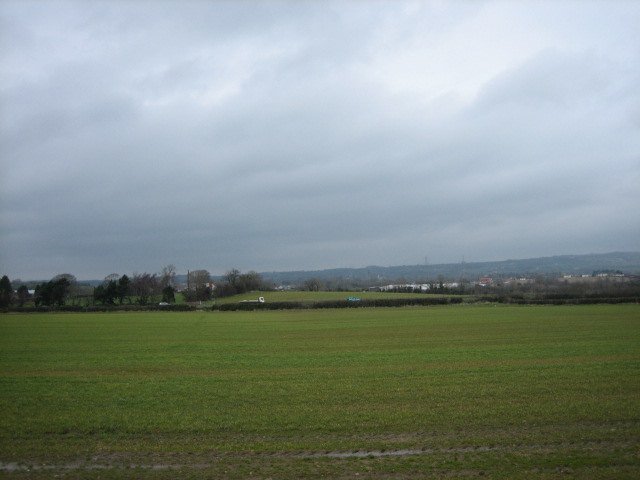
Lurganure townland.
Looking over an early crop (winter wheat?) towards the A3 between Lisburn (to the right) and Moira.
![Creative Commons Licence [Some Rights Reserved]](https://s1.geograph.org.uk/img/somerights20.gif)
|
· Find out How to reuse this image ·
Share:
|
|||||
| Start a discussion on J2162 | Suggest an update to this image | Contact the contributor | |||
Loading map... (JavaScript required)
- Grid Square
- J2162, 3 images (more nearby
 )
)
- Photographer
- Brian Shaw (find more nearby)
- Date Taken
- Wednesday, 14 March, 2007 (more nearby)
- Submitted
- Wednesday, 14 March, 2007
- Category
- Countryside (more nearby)
- Subject Location
-
Irish:
 J 21 62 [1000m precision]
WGS84: 54:29.7824N 6:7.5305W - Camera Location
-
Irish: J 21 62
- View Direction
- North-northwest (about 337 degrees)
Image classification(about):
Geograph
This page has been viewed about 196 times.
View this location:
KML (Google Earth) ·
Google Maps ·
Bing Maps ·
Geograph Coverage Map ·
More Links for this image
·
Bing Maps ·
Geograph Coverage Map ·
More Links for this image