R5538 : Wide junction
taken 11 years ago, 3 km from Monaster, Co Limerick, Ireland
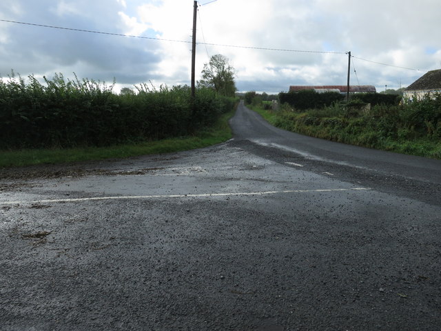
Wide junction
A wide road junction on minor roads south of Limerick: the typical Irish weather is shown by the wet road.
![Creative Commons Licence [Some Rights Reserved]](https://s1.geograph.org.uk/img/somerights20.gif)
|
· Find out How to reuse this image ·
Share:
|
|||||
| Start a discussion on R5538 | Suggest an update to this image | Contact the contributor | |||
Loading map... (JavaScript required)
- Grid Square
- R5538 (more nearby
 )
)
- Photographer
- Neville Goodman (find more nearby)
- Date Taken
- Friday, 4 October, 2013 (more nearby)
- Submitted
- Saturday, 5 October, 2013
- Geographical Context
- Subject Location
-
Irish:
 R 555 386 [100m precision]
WGS84: 52:29.8934N 8:39.2870W - Camera Location
-
Irish: R 555 389
- View Direction
- SOUTH (about 180 degrees)
This page has been viewed about 28 times.
View this location:
KML (Google Earth) ·
Google Maps ·
Bing Maps ·
Geograph Coverage Map ·
More Links for this image
·
Bing Maps ·
Geograph Coverage Map ·
More Links for this image