R1833 : Wind farm, moorland, forestry
taken 11 years ago, 6 km N of Inchabaun, Co Limerick, Ireland
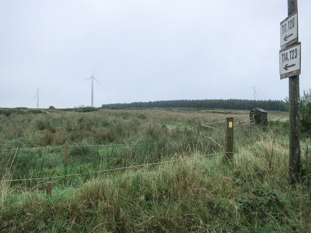
Wind farm, moorland, forestry
Four turbines of the Cnoc an Droma Fhada wind farm (3 of turbines T17, T20, T14 and T23 are visible).
![Creative Commons Licence [Some Rights Reserved]](https://s1.geograph.org.uk/img/somerights20.gif)
|
· Find out How to reuse this image ·
Share:
|
|||||
| Start a discussion on R1833 | Suggest an update to this image | Contact the contributor | |||
Loading map... (JavaScript required)
- Grid Square
- R1833 (more nearby
 )
)
- Photographer
- Neville Goodman (find more nearby)
- Date Taken
- Sunday, 6 October, 2013 (more nearby)
- Submitted
- Wednesday, 9 October, 2013
- Geographical Context
- Subject Location
-
Irish:
 R 188 333 [100m precision]
WGS84: 52:26.7508N 9:11.6258W - Camera Location
-
Irish: R 187 330
- View Direction
- Northeast (about 45 degrees)
This page has been viewed about 44 times.
View this location:
KML (Google Earth) ·
Google Maps ·
Bing Maps ·
Geograph Coverage Map ·
More Links for this image
·
Bing Maps ·
Geograph Coverage Map ·
More Links for this image