J2868 : New social housing, Dunmurry (2)
taken 10 years ago, near to Dunmurry, Co Antrim, Northern Ireland
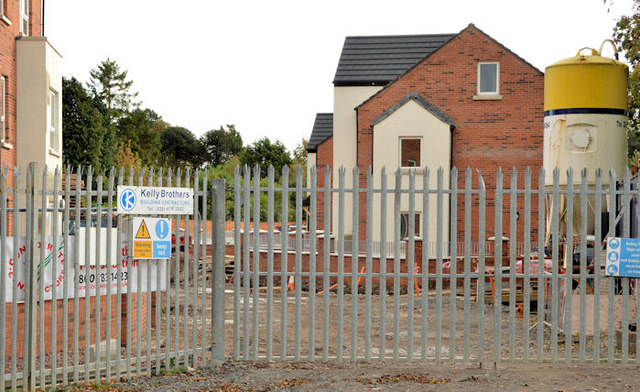
New social housing, Dunmurry (2)
See J2868 : New social housing, Dunmurry (November 2012). A similar view some eleven months later. J2868 : New social housing, Dunmurry (3) shows the almost complete block on the left.
Old Forge, Dunmurry
Social housing, subsequently named Old Forge at Kingsway, Dunmurry.
![Creative Commons Licence [Some Rights Reserved]](https://s1.geograph.org.uk/img/somerights20.gif)
|
· Find out How to reuse this image ·
Share:
|
|||||
| Start a discussion on J2868 | Suggest an update to this image | Contact the contributor | |||
Loading map... (JavaScript required)
- Grid Square
- J2868, 67 images (more nearby
 )
)
- Photographer
- Albert Bridge (find more nearby)
- Date Taken
- Sunday, 27 October, 2013 (more nearby)
- Submitted
- Monday, 28 October, 2013
- Geographical Context
- Place (from Tags)
- Subject Location
-
Irish:
 J 289 685 [100m precision]
WGS84: 54:32.9207N 6:0.4964W - Camera Location
-
Irish: J 288 685
- View Direction
- Southeast (about 135 degrees)
Other Tags
Image classification(about):
Geograph
This page has been viewed about 168 times.
View this location:
KML (Google Earth) ·
Google Maps ·
Bing Maps ·
Geograph Coverage Map ·
More Links for this image
·
Bing Maps ·
Geograph Coverage Map ·
More Links for this image