H3419 : Aghalane Mooring - Woodford River
taken 20 years ago, 3 km from Belturbet, Co Cavan, Ireland
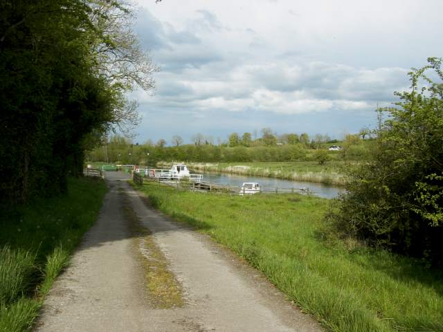
Aghalane Mooring - Woodford River
End of Shannon Erne Waterway
![Creative Commons Licence [Some Rights Reserved]](https://s1.geograph.org.uk/img/somerights20.gif)
|
· Find out How to reuse this image ·
Share:
|
|||||
| Start a discussion on H3419 | Suggest an update to this image | Contact the contributor | |||
Loading map... (JavaScript required)
- Grid Square
- H3419, 4 images (more nearby
 )
)
- Photographer
- Suse (find more nearby)
- Date Taken
- Saturday, 8 May, 2004 (more nearby)
- Submitted
- Saturday, 31 March, 2007
- Category
- River bank (more nearby)
- Subject Location
-
Irish:
 H 34 19 [1000m precision]
WGS84: 54:7.4079N 7:28.3853W - View Direction
- Northeast (about 45 degrees)
This page has been viewed about 248 times.
View this location:
KML (Google Earth) ·
Google Maps ·
Bing Maps ·
Geograph Coverage Map ·
More Links for this image
·
Bing Maps ·
Geograph Coverage Map ·
More Links for this image