1972
SH5640 : Pant Ifan, Tremadog
taken 52 years ago, near to Tremadog, Gwynedd, Wales
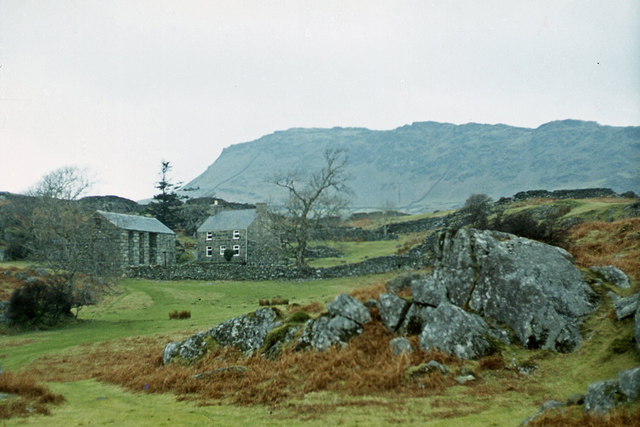
Pant Ifan, Tremadog
A climbers' hut. Mynydd Gorllwyn is in the background.
 Map © Crown Copyright")
TIP: Click the map for more Large scale mapping
- Grid Square
- SH5640, 89 images (more nearby 🔍)
- Photographer
- Ian Taylor (more nearby)
- Date Taken
- Saturday, 19 February, 1972 (more nearby)
- Submitted
- Monday, 10 February, 2014
- Subject Location
-
OSGB36:
 SH 5695 4079 [10m precision]
WGS84: 52:56.7224N 4:7.8237W - Camera Location
-
OSGB36: SH 5698 4068
- View Direction
- North-northwest (about 337 degrees)