J4079 : Development site, Victoria Road, Holywood (April 2014)
taken 10 years ago, near to Holywood, Co Down, Northern Ireland
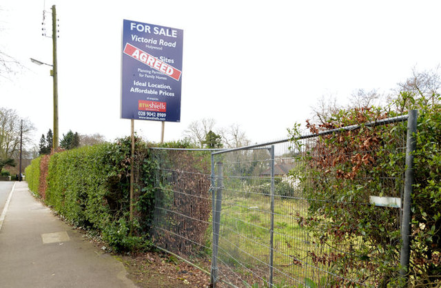
Development site, Victoria Road, Holywood (April 2014)
See J4079 : Development site, Victoria Road, Holywood - February 2014. The agents board now has an agreed patch.
![Creative Commons Licence [Some Rights Reserved]](https://s1.geograph.org.uk/img/somerights20.gif)
|
· Find out How to reuse this image ·
Share:
|
|||||
| Start a discussion on J4079 | Suggest an update to this image | Contact the contributor | |||
Loading map... (JavaScript required)
- Grid Square
- J4079, 199 images (more nearby
 )
)
- Photographer
- Albert Bridge (find more nearby)
- Date Taken
- Tuesday, 8 April, 2014 (more nearby)
- Submitted
- Tuesday, 8 April, 2014
- Geographical Context
- Place (from Tags)
- Subject Location
-
Irish:
 J 407 791 [100m precision]
WGS84: 54:38.4465N 5:49.2399W - Camera Location
-
Irish: J 407 791
- View Direction
- West-southwest (about 247 degrees)
Other Tags
Image classification(about):
Geograph
This page has been viewed about 19 times.
View this location:
KML (Google Earth) ·
Google Maps ·
Bing Maps ·
Geograph Coverage Map ·
More Links for this image
·
Bing Maps ·
Geograph Coverage Map ·
More Links for this image