J3685 : The Old Carrick Road, Greenisland (April 2014)
taken 10 years ago, near to Greenisland, Co Antrim, Northern Ireland
The Old Carrick Road, Greenisland (April 2014)
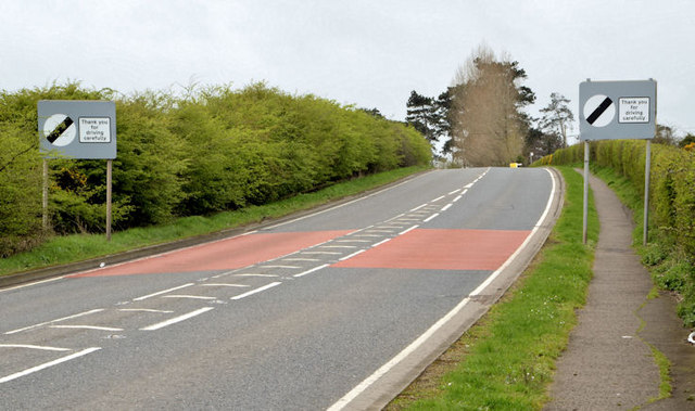
Before the building of the Antrim Coast road (1832/42) the road between Belfast and Carrickfergus followed an inland route all of which still exists today J3784 : The Shore Road, Greenisland (5) and J3375 : North Queen Street, Belfast (2). This is the view, towards Monkstown and Belfast, on the south western side of developed Greenisland. The road behind me has a 40mph speed limit.
![Creative Commons Licence [Some Rights Reserved]](https://s1.geograph.org.uk/img/somerights20.gif)
|
· Find out How to reuse this image ·
Share:
|
|||||
| Start a discussion on J3685 | Suggest an update to this image | Contact the contributor | |||
Loading map... (JavaScript required)
- Grid Square
- J3685, 10 images (more nearby
 )
)
- Photographer
- Albert Bridge (find more nearby)
- Date Taken
- Wednesday, 9 April, 2014 (more nearby)
- Submitted
- Wednesday, 9 April, 2014
- Geographical Context
- Subject Location
-
Irish:
 J 360 856 [100m precision]
WGS84: 54:42.0405N 5:53.3943W - Camera Location
-
Irish: J 361 856
- View Direction
- West-southwest (about 247 degrees)
Other Tags
Image classification(about):
Geograph
This page has been viewed about 43 times.
View this location:
KML (Google Earth) ·
Google Maps ·
Bing Maps ·
Geograph Coverage Map ·
More Links for this image
·
Bing Maps ·
Geograph Coverage Map ·
More Links for this image