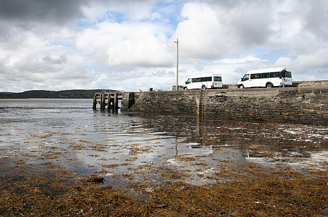
B9233 : Ballyness Pier
taken 10 years ago, near to Falcarragh, Co Donegal, Ireland
This is 1 of 2 images, with title Ballyness Pier in this square
Ballyness Pier
A side road from Falcarragh (An Fál Carrach) ends at the now apparently disused pier at Ballyness (Baile an Easa). This is one of the few places in Ballyness Bay where there is a navigable channel even at low tide.
![Creative Commons Licence [Some Rights Reserved]](https://s1.geograph.org.uk/img/somerights20.gif)
|
· Find out How to reuse this image ·
Share:
|
|||||
| Start a discussion on B9233 | Suggest an update to this image | Contact the contributor | |||
Loading map... (JavaScript required)
- Grid Square
- B9233, 7 images (more nearby
 )
)
- Photographer
- Anne Burgess (find more nearby)
- Date Taken
- Sunday, 18 May, 2014 (more nearby)
- Submitted
- Sunday, 25 May, 2014
- Geographical Context
- Subject Location
-
Irish:
 B 923 336 [100m precision]
WGS84: 55:9.0200N 8:7.2915W - Camera Location
-
Irish: B 922 336
- View Direction
- North-northeast (about 22 degrees)
Image classification(about):
Geograph (Second Visitor for B9233)
This page has been viewed about 86 times.
View this location:
KML (Google Earth) ·
Google Maps ·
Bing Maps ·
Geograph Coverage Map ·
More Links for this image
·
Bing Maps ·
Geograph Coverage Map ·
More Links for this image