H8583 : High Street, Moneymore
taken 10 years ago, 3 km from Moneymore, Co Londonderry, Northern Ireland
This is 1 of 9 images, with title High Street, Moneymore in this square
High Street, Moneymore
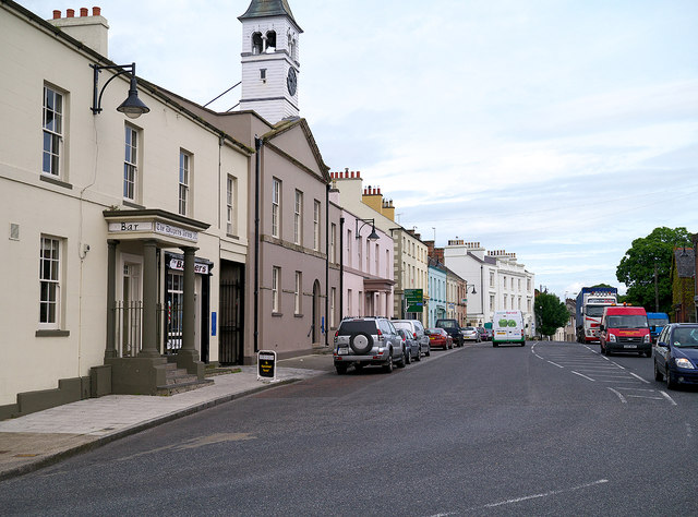
High Street in Moneymore. A busy spot, part of the A29 which carries a lot of traffic to/from Cookstown towards Maghera and Magherafelt.
![Creative Commons Licence [Some Rights Reserved]](https://s1.geograph.org.uk/img/somerights20.gif)
|
· Find out How to reuse this image ·
Share:
|
|||||
| Start a discussion on H8583 | Suggest an update to this image | Contact the contributor | |||
Loading map... (JavaScript required)
- Grid Square
- H8583, 113 images (more nearby
 )
)
- Photographer
- Rossographer (find more nearby)
- Date Taken
- Thursday, 12 June, 2014 (more nearby)
- Submitted
- Monday, 16 June, 2014
- Geographical Context
- Place (from Tags)
- Street (from Tags)
- Road (from Tags)
- On (from Tags)
- Subject Location
-
Irish:
 H 857 834 [100m precision]
WGS84: 54:41.4977N 6:40.2209W - Camera Location
-
Irish: H 858 833
- View Direction
- North-northwest (about 337 degrees)
Other Tags
Image classification(about):
Geograph (Third Visitor for H8583)
This page has been viewed about 173 times.
View this location:
KML (Google Earth) ·
Google Maps ·
Bing Maps ·
Geograph Coverage Map ·
More Links for this image
·
Bing Maps ·
Geograph Coverage Map ·
More Links for this image