H2788 : Grove Road
taken 17 years ago, 4 km NNE of Castlederg, Co Tyrone, Northern Ireland
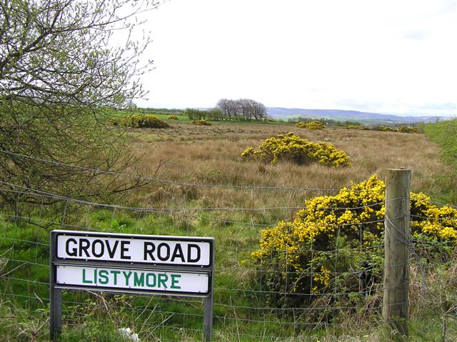
Grove Road
It is in the townland of Listymore.
![Creative Commons Licence [Some Rights Reserved]](https://s1.geograph.org.uk/img/somerights20.gif)
|
· Find out How to reuse this image ·
Share:
|
|||||
| Start a discussion on H2788 | Suggest an update to this image | Contact the contributor | |||
Loading map... (JavaScript required)
- Grid Square
- H2788, 9 images (more nearby
 )
)
- Photographer
- Kenneth Allen (find more nearby)
- Date Taken
- Thursday, 19 April, 2007 (more nearby)
- Submitted
- Friday, 20 April, 2007
- Category
- Countryside (more nearby)
- Subject Location
-
Irish:
 H 277 884 [100m precision]
WGS84: 54:44.5686N 7:34.2395W - Camera Location
-
Irish: H 277 884
- View Direction
- SOUTH (about 180 degrees)
Image classification(about):
Geograph
This page has been viewed about 38 times.
View this location:
KML (Google Earth) ·
Google Maps ·
Bing Maps ·
Geograph Coverage Map ·
More Links for this image
·
Bing Maps ·
Geograph Coverage Map ·
More Links for this image