J2868 : Old Forge, Dunmurry (July 2014)
taken 10 years ago, near to Dunmurry, Co Antrim, Northern Ireland
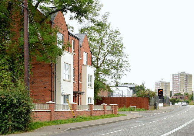
Old Forge, Dunmurry (July 2014)
For the record the completed houses and apartments looking towards Seymour Hill. Old Forge is a townland once called Ballydolleghan.
Old Forge, Dunmurry
Social housing, subsequently named Old Forge at Kingsway, Dunmurry.
![Creative Commons Licence [Some Rights Reserved]](https://s1.geograph.org.uk/img/somerights20.gif)
|
· Find out How to reuse this image ·
Share:
|
|||||
| Start a discussion on J2868 | Suggest an update to this image | Contact the contributor | |||
Loading map... (JavaScript required)
- Grid Square
- J2868, 67 images (more nearby
 )
)
- Photographer
- Albert Bridge (find more nearby)
- Date Taken
- Saturday, 19 July, 2014 (more nearby)
- Submitted
- Saturday, 19 July, 2014
- Geographical Context
- Place (from Tags)
- Subject Location
-
Irish:
 J 289 685 [100m precision]
WGS84: 54:32.9479N 6:0.5136W - Camera Location
-
Irish: J 289 686
- View Direction
- South-southwest (about 202 degrees)
Other Tags
Image classification(about):
Geograph
This page has been viewed about 210 times.
View this location:
KML (Google Earth) ·
Google Maps ·
Bing Maps ·
Geograph Coverage Map ·
More Links for this image
·
Bing Maps ·
Geograph Coverage Map ·
More Links for this image