2014
SU4950 : Trouble at the junction
taken 10 years ago, near to Laverstoke, Hampshire, England
Trouble at the junction
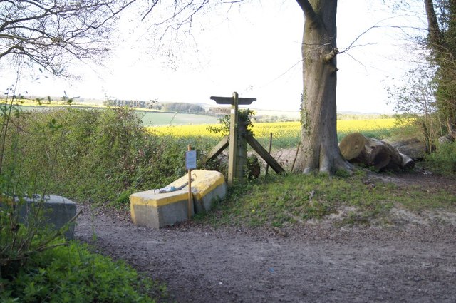
A very solid barrier with notice by a footpath. See SU4950 : Difficult to resolve to read the notice.
The Harrow Way
"The Harrow, or 'Hard Way', is one of the oldest roads in Britain, and like the Great Ridgeway, its only competitor for the title, with the possible exception of the Icknield Way, crosses the country from east to west.
An ancient road though it could be travelled along from one side of the country to another was not originally planned to do this. It grew up out of various local trackways which became linked together as the need arose, and in its earliest days must have fluctuated until it finally settled into a definite route which long expertence had proved to be the most useful."
Ancient Trackways of Wessex (1965).
 Map © Crown Copyright")
TIP: Click the map for more Large scale mapping
- Grid Square
- SU4950, 74 images (more nearby 🔍)
- Photographer
- Mr Ignavy (more nearby)
- Date Taken
- Friday, 18 April, 2014 (more nearby)
- Submitted
- Thursday, 24 July, 2014
- Subject Location
-
OSGB36:
 SU 4912 5033 [10m precision]
WGS84: 51:15.0019N 1:17.8555W - Camera Location
-
OSGB36: SU 4911 5031
- View Direction
- North-northeast (about 22 degrees)