W4154 : Cemetery near Mawbeg Bridge
taken 10 years ago, 4 km SSE of Newcestown, Co Cork, Ireland
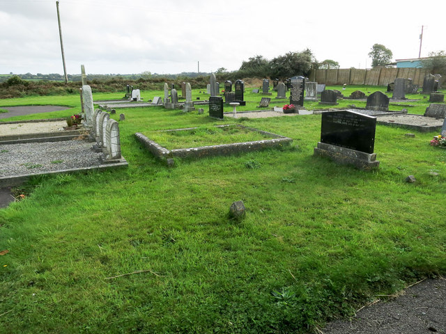
Cemetery near Mawbeg Bridge
Some of the low ridges visible over the far cemetery wall are also in the square.
![Creative Commons Licence [Some Rights Reserved]](https://s1.geograph.org.uk/img/somerights20.gif)
|
· Find out How to reuse this image ·
Share:
|
|||||
| Start a discussion on W4154 | Suggest an update to this image | Contact the contributor | |||
Loading map... (JavaScript required)
- Grid Square
- W4154, 3 images (more nearby
 )
)
- Photographer
- Neville Goodman (find more nearby)
- Date Taken
- Thursday, 2 October, 2014 (more nearby)
- Submitted
- Friday, 3 October, 2014
- Geographical Context
- Primary Subject of Photo
- Subject Location
-
Irish:
 W 413 548 [100m precision]
WGS84: 51:44.6262N 8:51.0343W - Camera Location
-
Irish: W 413 549
- View Direction
- SOUTH (about 180 degrees)
This page has been viewed about 26 times.
View this location:
KML (Google Earth) ·
Google Maps ·
Bing Maps ·
Geograph Coverage Map ·
More Links for this image
·
Bing Maps ·
Geograph Coverage Map ·
More Links for this image