H6858 : Farriter Townland
taken 9 years ago, 5 km ENE of Ballygawley, Co Tyrone, Northern Ireland
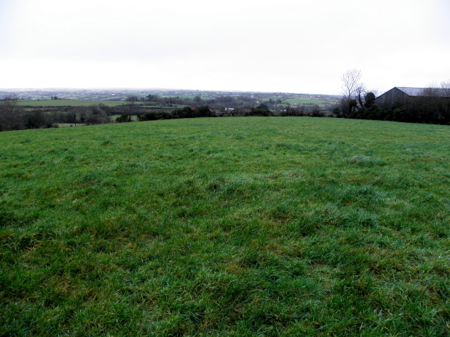
Farriter Townland
Looking north-west
![Creative Commons Licence [Some Rights Reserved]](https://s1.geograph.org.uk/img/somerights20.gif)
|
· Find out How to reuse this image ·
Share:
|
|||||
| Start a discussion on H6858 | Suggest an update to this image | Contact the contributor | |||
Loading map... (JavaScript required)
- Grid Square
- H6858, 10 images (more nearby
 )
)
- Photographer
- Kenneth Allen (find more nearby)
- Date Taken
- Wednesday, 17 December, 2014 (more nearby)
- Submitted
- Wednesday, 17 December, 2014
- Geographical Context
- Subject Location
-
Irish:
 H 684 588 [100m precision]
WGS84: 54:28.4328N 6:56.7407W - Camera Location
-
Irish: H 684 588
- View Direction
- Northwest (about 315 degrees)
Other Tags
Image classification(about):
Geograph
This page has been viewed about 6 times.
View this location:
KML (Google Earth) ·
Google Maps ·
Bing Maps ·
Geograph Coverage Map ·
More Links for this image
·
Bing Maps ·
Geograph Coverage Map ·
More Links for this image