2011
NN5007 : Bridge over Allt Inneir on route to Ben A'an
taken 13 years ago, 3 km from Brig O'turk, Stirling, Scotland
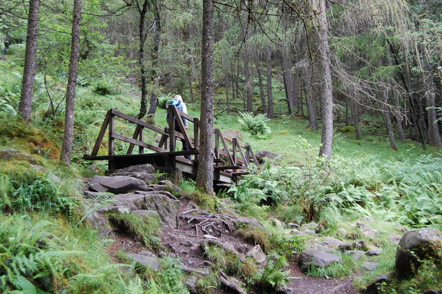
Bridge over Allt Inneir on route to Ben A'an
 Map © Crown Copyright")
TIP: Click the map for more Large scale mapping
- Grid Square
- NN5007, 44 images (more nearby 🔍)
- Photographer
- Clive Perrin (more nearby)
- Date Taken
- Thursday, 21 July, 2011 (more nearby)
- Submitted
- Thursday, 22 January, 2015
- Subject Location
-
OSGB36:
 NN 5092 0745 [10m precision]
WGS84: 56:14.1684N 4:24.4086W - Camera Location
-
OSGB36: NN 5094 0740
- View Direction
- North-northwest (about 337 degrees)