2014
SU5634 : Farmland east of Abbotstone
taken 10 years ago, near to Old Alresford, Hampshire, England
This is 1 of 2 images, with title Farmland east of Abbotstone in this square
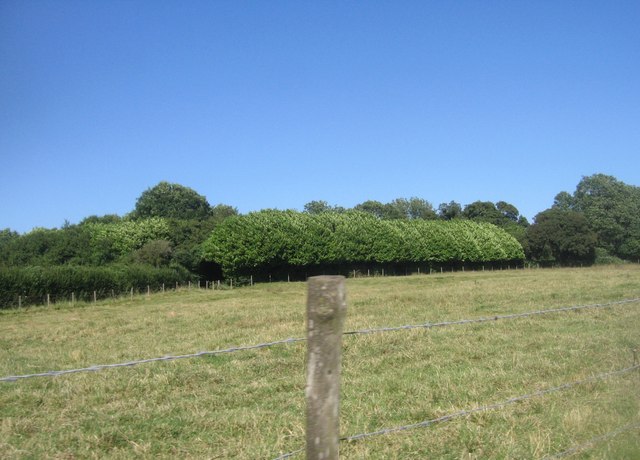
Farmland east of Abbotstone
 Map © Crown Copyright")
TIP: Click the map for more Large scale mapping
- Grid Square
- SU5634, 18 images (more nearby 🔍)
- Photographer
- Mr Ignavy (more nearby)
- Date Taken
- Thursday, 3 July, 2014 (more nearby)
- Submitted
- Sunday, 1 February, 2015
- Subject Location
-
OSGB36:
 SU 5681 3452 [10m precision]
WGS84: 51:6.4303N 1:11.3949W - Camera Location
-
OSGB36: SU 5672 3453
- View Direction
- EAST (about 90 degrees)