2014
TL4555 : Access for new housing
taken 9 years ago, near to Trumpington, Cambridgeshire, England
This is 1 of 3 images, with title starting with Access for new in this square
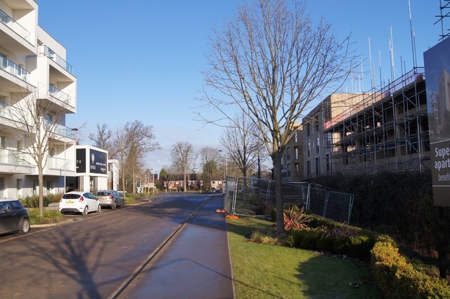
Access for new housing
New access road off Long Road leading into the midst of the Clay Farm housing development. Yet to be named.
 Map © Crown Copyright")
TIP: Click the map for more Large scale mapping
- Grid Square
- TL4555, 1570 images (more nearby 🔍)
- Photographer
- Mr Ignavy (more nearby)
- Date Taken
- Sunday, 28 December, 2014 (more nearby)
- Submitted
- Thursday, 19 March, 2015
- Subject Location
-
OSGB36:
 TL 4526 5561 [10m precision]
WGS84: 52:10.7774N 0:7.3852E - Camera Location
-
OSGB36: TL 4526 5553
- View Direction
- NORTH (about 0 degrees)