2015
NR7838 : Rhonadale Farm
taken 9 years ago, near to Bridgend, Argyll And Bute, Scotland
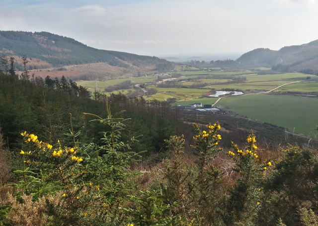
Rhonadale Farm
Looking down from the forestry track. Carradale Point can be made out in the distance.
 Map © Crown Copyright")
TIP: Click the map for more Large scale mapping
- Grid Square
- NR7838, 6 images (more nearby 🔍)
- Photographer
- Steve Partridge (more nearby)
- Date Taken
- Sunday, 22 March, 2015 (more nearby)
- Submitted
- Sunday, 22 March, 2015
- Subject Location
-
OSGB36:
 NR 7864 3897 [10m precision]
WGS84: 55:35.6333N 5:30.8865W - Camera Location
-
OSGB36: NR 7816 3934
- View Direction
- Southeast (about 135 degrees)