2014
SU4950 : Farmland south of Whitnal
taken 9 years ago, near to Laverstoke, Hampshire, England
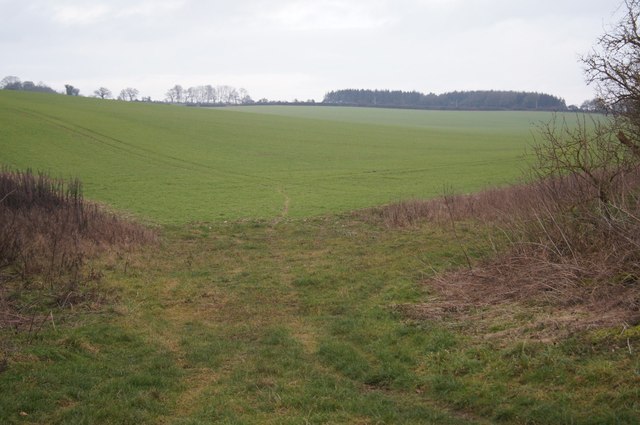
Farmland south of Whitnal
 Map © Crown Copyright")
TIP: Click the map for more Large scale mapping
- Grid Square
- SU4950, 74 images (more nearby 🔍)
- Photographer
- Mr Ignavy (more nearby)
- Date Taken
- Wednesday, 31 December, 2014 (more nearby)
- Submitted
- Monday, 27 April, 2015
- Subject Location
-
OSGB36:
 SU 4921 5092 [10m precision]
WGS84: 51:15.3198N 1:17.7733W - Camera Location
-
OSGB36: SU 4904 5062
- View Direction
- North-northeast (about 22 degrees)