J4771 : Field gates, Scrabo, Newtownards - May 2015(1)
taken 9 years ago, near to Newtownards, Co Down, Northern Ireland
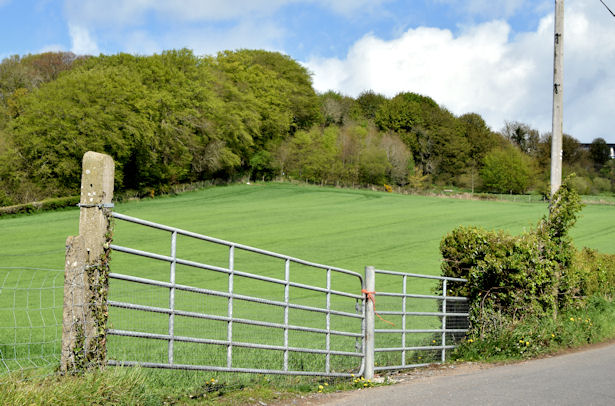
Killynether Wood forms part of the Scrabo Country Park, on high ground to the southwest of Newtownards. The area was once a quarry but the passage of time has hidden much of the disused quarry under trees. The views to Strangford Lough and across part of the Co Down drumlin belt are worthwhile (especially on a bright day). Much of the wood is on a steep to very steep hillside and is not suitable for wheelchair users or those with walking difficulties.
The wood includes a walled garden once part of the grounds of Killynether House. The house was designed, by local architect Henry Chappell, for the Marquis of Londonderrys and extended and re-modelled in the early 1870s. Following government use during World War II it passed to the National Trust and, after a period as a youth hostel, was demolished (with some regret) due its unsound condition.
![Creative Commons Licence [Some Rights Reserved]](https://s1.geograph.org.uk/img/somerights20.gif)
|
· Find out How to reuse this image ·
Share:
|
|||||
| Start a discussion on J4771 | Suggest an update to this image | Contact the contributor | |||
- Grid Square
- J4771, 26 images (more nearby
 )
)
- Photographer
- Albert Bridge (find more nearby)
- Date Taken
- Monday, 11 May, 2015 (more nearby)
- Submitted
- Monday, 11 May, 2015
- Geographical Context
- Place (from Tags)
- Subject Location
-
Irish:
 J 477 719 [100m precision]
WGS84: 54:34.4766N 5:42.9931W - Camera Location
-
Irish: J 477 719
- View Direction
- West-northwest (about 292 degrees)
Other Tags