2014
TL4554 : Once this was Clay Farm
taken 9 years ago, near to Trumpington, Cambridgeshire, England
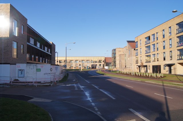
Once this was Clay Farm
View along Addenbrooke's Road, built in the short time that I had been contributing to the Geograph project.
 Map © Crown Copyright")
TIP: Click the map for more Large scale mapping
- Grid Square
- TL4554, 1023 images (more nearby 🔍)
- Photographer
- Mr Ignavy (more nearby)
- Date Taken
- Sunday, 28 December, 2014 (more nearby)
- Submitted
- Monday, 18 May, 2015
- Subject Location
-
OSGB36:
 TL 4515 5431 [10m precision]
WGS84: 52:10.0784N 0:7.2554E - Camera Location
-
OSGB36: TL 4518 5425
- View Direction
- Northwest (about 315 degrees)