H1168 : Farm at Drumchrin
taken 18 years ago, near to Pettigoe, Co Donegal, Ireland
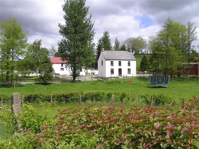
Farm at Drumchrin
Located to the north of Pettigoe.
![Creative Commons Licence [Some Rights Reserved]](https://s1.geograph.org.uk/img/somerights20.gif)
|
· Find out How to reuse this image ·
Share:
|
|||||
| Start a discussion on H1168 | Suggest an update to this image | Contact the contributor | |||
Loading map... (JavaScript required)
- Grid Square
- H1168, 4 images (more nearby
 )
)
- Photographer
- Kenneth Allen (find more nearby)
- Date Taken
- Monday, 29 May, 2006 (more nearby)
- Submitted
- Wednesday, 30 May, 2007
- Category
- Farmhouse (more nearby)
- Subject Location
-
Irish:
 H 111 684 [100m precision]
WGS84: 54:33.8274N 7:49.7494W - Camera Location
-
Irish: H 111 684
- View Direction
- Northeast (about 45 degrees)
This page has been viewed about 196 times.
View this location:
KML (Google Earth) ·
Google Maps ·
Bing Maps ·
Geograph Coverage Map ·
More Links for this image
·
Bing Maps ·
Geograph Coverage Map ·
More Links for this image