O1071 : Hedgerow east of the R108 near Calliaghstown
taken 17 years ago, near to Beaumont, Co Meath, Ireland
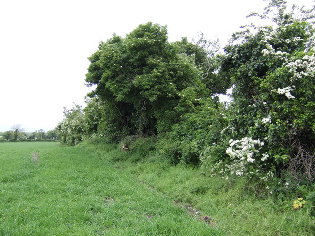
Hedgerow east of the R108 near Calliaghstown
![Creative Commons Licence [Some Rights Reserved]](https://s1.geograph.org.uk/img/somerights20.gif)
|
· Find out How to reuse this image ·
Share:
|
|||||
| Start a discussion on O1071 | Suggest an update to this image | Contact the contributor | |||
Loading map... (JavaScript required)
- Grid Square
- O1071 (more nearby
 )
)
- Photographer
- Jonathan Billinger (find more nearby)
- Date Taken
- Wednesday, 16 May, 2007 (more nearby)
- Submitted
- Friday, 1 June, 2007
- Category
- Field boundaries (more nearby)
- Subject Location
-
Irish:
 O 10540 71186 [1m precision]
WGS84: 53:40.7329N 6:19.6736W - View Direction
- East-northeast (about 67 degrees)
This page has been viewed about 90 times.
View this location:
KML (Google Earth) ·
Google Maps ·
Bing Maps ·
Geograph Coverage Map ·
More Links for this image
·
Bing Maps ·
Geograph Coverage Map ·
More Links for this image