J5673 : "Stop" sign, Ballyblack, Carrowdore (June 2015)
taken 9 years ago, near to Carrowdore, Co Down, Northern Ireland
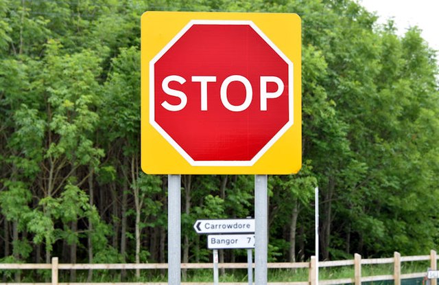
"Stop" sign, Ballyblack, Carrowdore (June 2015)
A stop sign, on a yellow sighting board, on the Grangee Road J5673 : Name sign, Grangee Road near Carrowdore (June 2015), at the Ballyblack Road/Ballyblack Road East crossroads.
Road signs and markings, Northern Ireland
A collection of photographs showing road signs and marking in their context. It exists as a matter of record only, has no connection with any official body and does not claim to be a definitive or legally-binding guide. The official version is the Highway Code for Northern Ireland.
No breach of Crown copyright intended. I believe that my submissions are in accordance with the terms of the Open Government Licence for public sector information Link
![Creative Commons Licence [Some Rights Reserved]](https://s1.geograph.org.uk/img/somerights20.gif)
|
· Find out How to reuse this image ·
Share:
|
|||||
| Start a discussion on J5673 | Suggest an update to this image | Contact the contributor | |||
Loading map... (JavaScript required)
- Grid Square
- J5673, 9 images (more nearby
 )
)
- Photographer
- Albert Bridge (find more nearby)
- Date Taken
- Wednesday, 24 June, 2015 (more nearby)
- Submitted
- Monday, 29 June, 2015
- Geographical Context
- Place (from Tags)
- Subject Location
-
Irish:
 J 565 734 [100m precision]
WGS84: 54:35.0827N 5:34.7906W - Camera Location
-
Irish: J 565 734
- View Direction
- Southwest (about 225 degrees)
Other Tags
Image classification(about):
Supplemental image
This page has been viewed about 82 times.
View this location:
KML (Google Earth) ·
Google Maps ·
Bing Maps ·
Geograph Coverage Map ·
More Links for this image