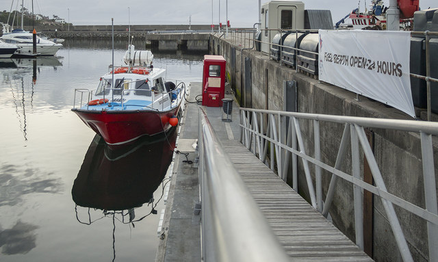
J5082 : The 'Ocean Crest' at Bangor
taken 9 years ago, near to Bangor, Co Down, Northern Ireland
This is 1 of 13 images, with title The 'Ocean Crest' at Bangor in this square
![Creative Commons Licence [Some Rights Reserved]](https://s1.geograph.org.uk/img/somerights20.gif)
|
· Find out How to reuse this image ·
Share:
|
|||||
| Start a discussion on J5082 | Suggest an update to this image | Contact the contributor | |||
Loading map... (JavaScript required)
- Grid Square
- J5082, 2267 images (more nearby
 )
)
- Photographer
- Rossographer (find more nearby)
- Date Taken
- Friday, 26 June, 2015 (more nearby)
- Submitted
- Thursday, 2 July, 2015
- Geographical Context
- Place (from Tags)
- Subject Location
-
Irish:
 J 503 821 [100m precision]
WGS84: 54:39.9012N 5:40.2148W - Camera Location
-
Irish: J 503 821
- View Direction
- Northwest (about 315 degrees)
Other Tags
Image classification(about):
Geograph
This page has been viewed about 32 times.
View this location:
KML (Google Earth) ·
Google Maps ·
Bing Maps ·
Geograph Coverage Map ·
More Links for this image
·
Bing Maps ·
Geograph Coverage Map ·
More Links for this image