2015
SP4338 : Banbury: Arable land off Wykham Lane
taken 9 years ago, near to Broughton, Oxfordshire, England
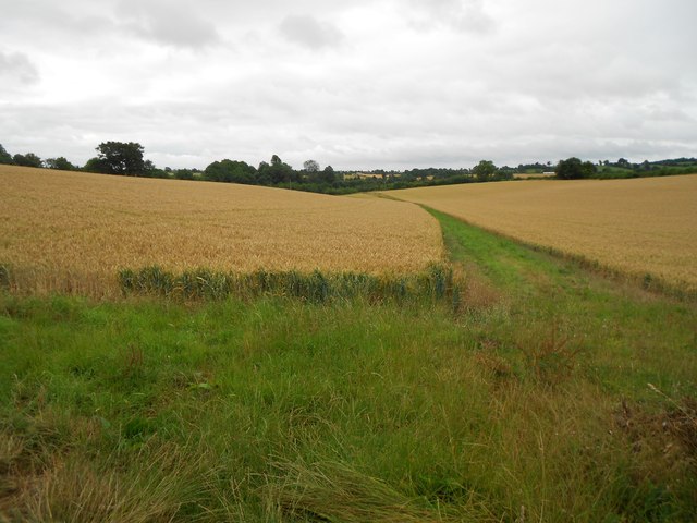
Banbury: Arable land off Wykham Lane
Despite it being out in the countryside to the south of the town this area still falls within the Civil Parish of Banbury. This view was taken from Wykham Lane which connects Bodicote and Broughton.
 Map © Crown Copyright")
TIP: Click the map for more Large scale mapping
- Grid Square
- SP4338, 9 images (more nearby 🔍)
- Photographer
- Nigel Cox (more nearby)
- Date Taken
- Monday, 27 July, 2015 (more nearby)
- Submitted
- Saturday, 1 August, 2015
- Subject Location
-
OSGB36:
 SP 4362 3809 [10m precision]
WGS84: 52:2.3701N 1:21.9285W - Camera Location
-
OSGB36: SP 4363 3815
- View Direction
- SOUTH (about 180 degrees)