J4272 : Survey point, Comber Greenway, Dundonald (August 2015)
taken 9 years ago, near to Dundonald, Co Down, Northern Ireland
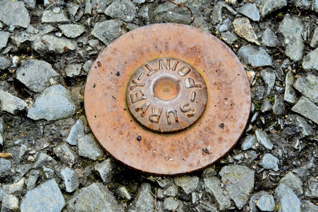
Survey point, Comber Greenway, Dundonald (August 2015)
A survey point mark, in the Comber Greenway, close to the Millmount Road entrance.
Survey marks and points, Northern Ireland
A series of photographs showing some the ground markers and survey points used by surveyors Link
in Northern Ireland.
![Creative Commons Licence [Some Rights Reserved]](https://s1.geograph.org.uk/img/somerights20.gif)
|
· Find out How to reuse this image ·
Share:
|
|||||
| Start a discussion on J4272 | Suggest an update to this image | Contact the contributor | |||
Loading map... (JavaScript required)
- Grid Square
- J4272, 52 images (more nearby
 )
)
- Photographer
- Albert Bridge (find more nearby)
- Date Taken
- Saturday, 1 August, 2015 (more nearby)
- Submitted
- Saturday, 1 August, 2015
- Geographical Context
- Place (from Tags)
- Primary Subject of Photo
- Subject Location
-
Irish:
 J 429 726 [100m precision]
WGS84: 54:34.8873N 5:47.3974W - Camera Location
-
Irish: J 429 726
- View Direction
- South-southeast (about 157 degrees)
Other Tags
Image classification(about):
Supplemental image
This page has been viewed about 58 times.
View this location:
KML (Google Earth) ·
Google Maps ·
Bing Maps ·
Geograph Coverage Map ·
More Links for this image