2015
SU5750 : Path behind Kennet Way
taken 9 years ago, near to East Oakley, Hampshire, England
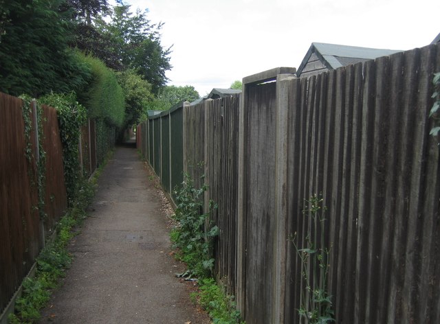
Path behind Kennet Way
Frequently used hence the lack of undergrowth.
 Map © Crown Copyright")
TIP: Click the map for more Large scale mapping
- Grid Square
- SU5750, 2814 images (more nearby 🔍)
- Photographer
- Mr Ignavy (more nearby)
- Date Taken
- Sunday, 19 July, 2015 (more nearby)
- Submitted
- Sunday, 27 September, 2015
- Subject Location
-
OSGB36:
 SU 5760 5008 [10m precision]
WGS84: 51:14.8196N 1:10.5686W - Camera Location
-
OSGB36: SU 5761 5004
- View Direction
- NORTH (about 0 degrees)