2015
TL2418 : A1(M) near Welwyn Heath
taken 8 years ago, near to Oaklands, Hertfordshire, England
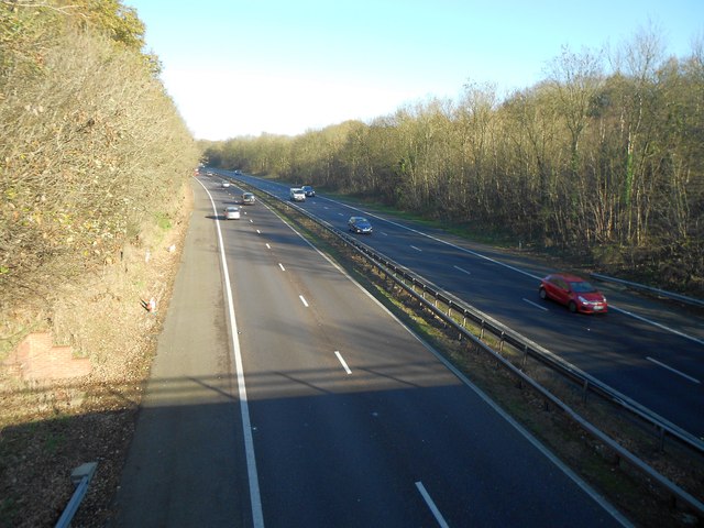
A1(M) near Welwyn Heath
This road was originally built around 1960 to bypass several town centres on the old Great North Road in Hertfordshire. It appears on the 1964 Ordnance Survey 1:10,000 scale map, but not on the 1960 version. When it was built the road here cut a swathe through the western edge of Mardley Heath. It would be interesting to see if such a development would have been allowed today.
This is the view looking north from the Pottersheath Road overbridge.
This is the view looking north from the Pottersheath Road overbridge.
 Map © Crown Copyright")
TIP: Click the map for more Large scale mapping
- Grid Square
- TL2418, 19 images (more nearby 🔍)
- Photographer
- Nigel Cox (more nearby)
- Date Taken
- Sunday, 22 November, 2015 (more nearby)
- Submitted
- Saturday, 28 November, 2015
- Subject Location
-
OSGB36:
 TL 2422 1813 [10m precision]
WGS84: 51:50.8773N 0:11.8822W - Camera Location
-
OSGB36: TL 2417 1807
- View Direction
- Northeast (about 45 degrees)