2015
TL2218 : Codicote: Farmland at Codicote Heights
taken 8 years ago, near to Codicote, Hertfordshire, England
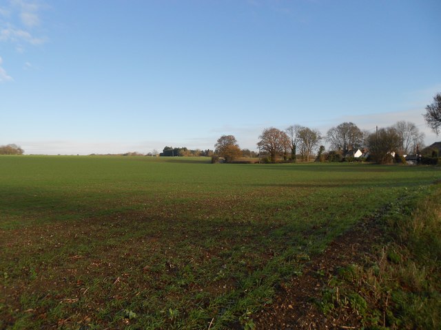
Codicote: Farmland at Codicote Heights
This open farmland with large fields is typical of this part of Hertfordshire, and is the view taken from Rabley Heath Road in Codicote Heights on National Cycle Route Number 12.
 Map © Crown Copyright")
TIP: Click the map for more Large scale mapping
- Grid Square
- TL2218, 8 images (more nearby 🔍)
- Photographer
- Nigel Cox (more nearby)
- Date Taken
- Sunday, 22 November, 2015 (more nearby)
- Submitted
- Sunday, 29 November, 2015
- Subject Location
-
OSGB36:
 TL 227 184 [100m precision]
WGS84: 51:51.0431N 0:13.1998W - Camera Location
-
OSGB36: TL 2268 1820
- View Direction
- North-northeast (about 22 degrees)