2013
NJ0105 : El Alamein refuge
taken 11 years ago, near to Cnap Coire na Spreidhe [hill or Mountain], Highland, Great Britain
This is 1 of 2 images, with title El Alamein refuge in this square
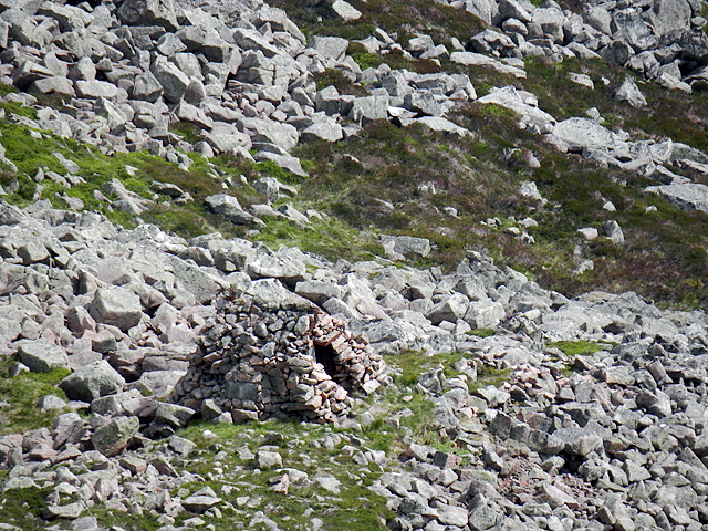
El Alamein refuge
 Map © Crown Copyright")
TIP: Click the map for more Large scale mapping
- Grid Square
- NJ0105, 11 images (more nearby 🔍)
- Photographer
- Dave Moir (more nearby)
- Contributed by
- Mike Searle (more nearby)
- Date Taken
- Tuesday, 9 July, 2013 (more nearby)
- Submitted
- Friday, 12 February, 2016
- Subject Location
-
OSGB36:
 NJ 016 053 [100m precision]
WGS84: 57:7.6828N 3:37.6243W - Camera Location
-
OSGB36: NJ 016 053