W7166 : Country road meets the National Route N28
taken 8 years ago, 4 km NNW of Carrigaline, Co Cork, Ireland
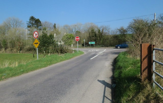
Country road meets the National Route N28
A number of road signs can be seen here... I only spotted the no right turn here on the image while submitting to Geograph... oops.
![Creative Commons Licence [Some Rights Reserved]](https://s1.geograph.org.uk/img/somerights20.gif)
|
· Find out How to reuse this image ·
Share:
|
|||||
| Start a discussion on W7166 | Suggest an update to this image | Contact the contributor | |||
Loading map... (JavaScript required)
- Grid Square
- W7166 (more nearby
 )
)
- Photographer
- Hywel Williams (find more nearby)
- Date Taken
- Friday, 18 March, 2016 (more nearby)
- Submitted
- Friday, 18 March, 2016
- Geographical Context
- Subject Location
-
Irish:
 W 712 666 [100m precision]
WGS84: 51:51.1346N 8:25.0950W - Camera Location
-
Irish: W 711 666
- View Direction
- East-northeast (about 67 degrees)
This page has been viewed about 67 times.
View this location:
KML (Google Earth) ·
Google Maps ·
Bing Maps ·
Geograph Coverage Map ·
More Links for this image
·
Bing Maps ·
Geograph Coverage Map ·
More Links for this image