M4826 : Clairin River
taken 8 years ago, 3 km from Athenry, Co Galway, Ireland
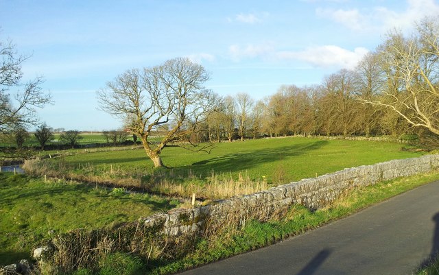
Clairin River
This small river (stream?) has various names depending on location. Some km north of Athenry, it is referred to as the Graigabbey river; here, just south of Athenry, it is officially referred to as the Clairin river; a couple of kilometres southwest of here, it changes name to the Lavally river after joining with the Eiscir river, and as it approaches Clarinbridge it is referred to as the Clarinbridge river. Water levels can be very shallow or even non existent in high summer.
![Creative Commons Licence [Some Rights Reserved]](https://s1.geograph.org.uk/img/somerights20.gif)
|
· Find out How to reuse this image ·
Share:
|
|||||
| Start a discussion on M4826 | Suggest an update to this image | Contact the contributor | |||
Loading map... (JavaScript required)
- Grid Square
- M4826, 7 images (more nearby
 )
)
- Photographer
- DeeEmm (find more nearby)
- Date Taken
- Thursday, 31 March, 2016 (more nearby)
- Submitted
- Friday, 1 April, 2016
- Geographical Context
- Subject Location
-
Irish:
 M 488 262 [100m precision]
WGS84: 53:17.0608N 8:46.1032W - Camera Location
-
Irish: M 487 262
- View Direction
- Northeast (about 45 degrees)
Image classification(about):
Geograph (Second Visitor for M4826)
· First in 5 Years (TPoint) (about)
This page has been viewed about 55 times.
View this location:
KML (Google Earth) ·
Google Maps ·
Bing Maps ·
Geograph Coverage Map ·
More Links for this image
·
Bing Maps ·
Geograph Coverage Map ·
More Links for this image