C8540 : Path, Portrush Harbour
taken 8 years ago, near to Portrush, Co Antrim, Northern Ireland
This is 1 of 2 images, with title starting with Path, Portrush in this square
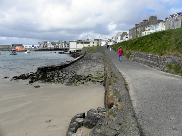
Path, Portrush Harbour
Heading NNW beside Kerr Street
![Creative Commons Licence [Some Rights Reserved]](https://s1.geograph.org.uk/img/somerights20.gif)
|
· Find out How to reuse this image ·
Share:
|
|||||
| Start a discussion on C8540 | Suggest an update to this image | Contact the contributor | |||
Loading map... (JavaScript required)
- Grid Square
- C8540, 1019 images (more nearby
 )
)
- Photographer
- Kenneth Allen (find more nearby)
- Date Taken
- Tuesday, 26 April, 2016 (more nearby)
- Submitted
- Friday, 29 April, 2016
- Geographical Context
- Subject Location
-
Irish:
 C 856 407 [100m precision]
WGS84: 55:12.3839N 6:39.3452W - Camera Location
-
Irish: C 856 407
- View Direction
- North-northwest (about 337 degrees)
Image classification(about):
Geograph
This page has been viewed about 19 times.
View this location:
KML (Google Earth) ·
Google Maps ·
Bing Maps ·
Geograph Coverage Map ·
More Links for this image
·
Bing Maps ·
Geograph Coverage Map ·
More Links for this image