J3662 : Fields near Carryduff
taken 8 years ago, near to Carryduff, Co Down, Northern Ireland
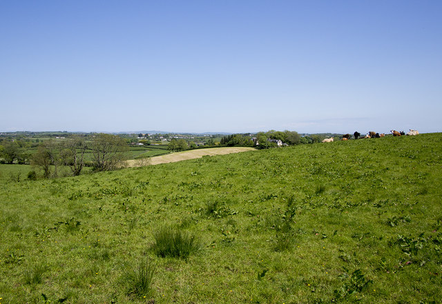
Fields near Carryduff
Fields off the Drumalig Road near Carryduff. The view is towards Belfast.
![Creative Commons Licence [Some Rights Reserved]](https://s1.geograph.org.uk/img/somerights20.gif)
|
· Find out How to reuse this image ·
Share:
|
|||||
| Start a discussion on J3662 | Suggest an update to this image | Contact the contributor | |||
Loading map... (JavaScript required)
- Grid Square
- J3662, 4 images (more nearby
 )
)
- Photographer
- Rossographer (find more nearby)
- Date Taken
- Monday, 30 May, 2016 (more nearby)
- Submitted
- Monday, 30 May, 2016
- Geographical Context
- Primary Subject of Photo
- Subject Location
-
Irish:
 J 367 627 [100m precision]
WGS84: 54:29.6893N 5:53.3833W - Camera Location
-
Irish: J 367 627
- View Direction
- North-northeast (about 22 degrees)
Other Tags
This page has been viewed about 42 times.
View this location:
KML (Google Earth) ·
Google Maps ·
Bing Maps ·
Geograph Coverage Map ·
More Links for this image
·
Bing Maps ·
Geograph Coverage Map ·
More Links for this image