S0425 : Tower, Cahir Abbey
taken 8 years ago, near to Caher, Co Tipperary, Ireland
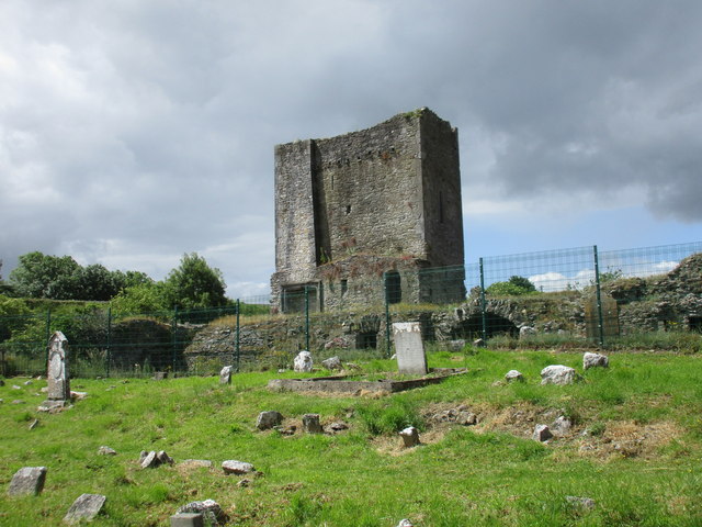
Tower, Cahir Abbey
Designed for residential use and built with materials from the largely demolished abbey (actually a priory).
![Creative Commons Licence [Some Rights Reserved]](https://s1.geograph.org.uk/img/somerights20.gif)
|
· Find out How to reuse this image ·
Share:
|
|||||
| Start a discussion on S0425 | Suggest an update to this image | Contact the contributor | |||
Loading map... (JavaScript required)
- Grid Square
- S0425, 14 images (more nearby
 )
)
- Photographer
- Jonathan Thacker (find more nearby)
- Date Taken
- Friday, 24 June, 2016 (more nearby)
- Submitted
- Tuesday, 28 June, 2016
- Geographical Context
- Subject Location
-
Irish:
 S 049 252 [100m precision]
WGS84: 52:22.7595N 7:55.7177W - Camera Location
-
Irish: S 049 252
- View Direction
- West-southwest (about 247 degrees)
This page has been viewed about 32 times.
View this location:
KML (Google Earth) ·
Google Maps ·
Bing Maps ·
Geograph Coverage Map ·
More Links for this image
·
Bing Maps ·
Geograph Coverage Map ·
More Links for this image