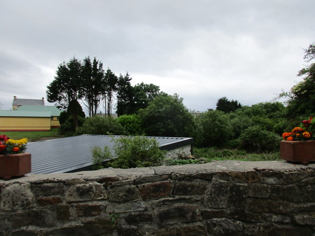
R1518 : Houses in Mountcollins
taken 8 years ago, near to Mountcollins, Co Limerick, Ireland
![Creative Commons Licence [Some Rights Reserved]](https://s1.geograph.org.uk/img/somerights20.gif)
|
· Find out How to reuse this image ·
Share:
|
|||||
| Start a discussion on R1518 | Suggest an update to this image | Contact the contributor | |||
Loading map... (JavaScript required)
- Grid Square
- R1518 (more nearby
 )
)
- Photographer
- Jonathan Thacker (find more nearby)
- Date Taken
- Tuesday, 21 June, 2016 (more nearby)
- Submitted
- Monday, 4 July, 2016
- Geographical Context
- Subject Location
-
Irish:
 R 159 189 [100m precision]
WGS84: 52:18.9567N 9:13.9587W - Camera Location
-
Irish: R 160 190
- View Direction
- SOUTH (about 180 degrees)
Image Type (about):
cross grid
This page has been viewed about 29 times.
View this location:
KML (Google Earth) ·
Google Maps ·
Bing Maps ·
Geograph Coverage Map ·
More Links for this image
·
Bing Maps ·
Geograph Coverage Map ·
More Links for this image