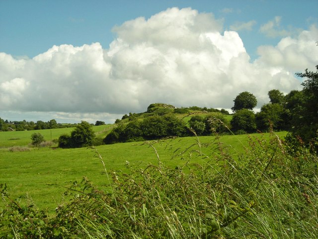
R7740 : Field with view of Sarsfield's Rock
taken 8 years ago, 4 km WNW of Cullen, Co Tipperary, Ireland
![Creative Commons Licence [Some Rights Reserved]](https://s1.geograph.org.uk/img/somerights20.gif)
|
· Find out How to reuse this image ·
Share:
|
|||||
| Start a discussion on R7740 | Suggest an update to this image | Contact the contributor | |||
Loading map... (JavaScript required)
- Grid Square
- R7740, 2 images (more nearby
 )
)
- Photographer
- Antony Dixon (find more nearby)
- Date Taken
- Friday, 1 July, 2016 (more nearby)
- Submitted
- Tuesday, 5 July, 2016
- Geographical Context
- Primary Subject of Photo
- Subject Location
-
Irish:
 R 779 406 [100m precision]
WGS84: 52:31.0536N 8:19.5325W - Camera Location
-
Irish: R 779 407
- View Direction
- South-southeast (about 157 degrees)
This page has been viewed about 26 times.
View this location:
KML (Google Earth) ·
Google Maps ·
Bing Maps ·
Geograph Coverage Map ·
More Links for this image
·
Bing Maps ·
Geograph Coverage Map ·
More Links for this image