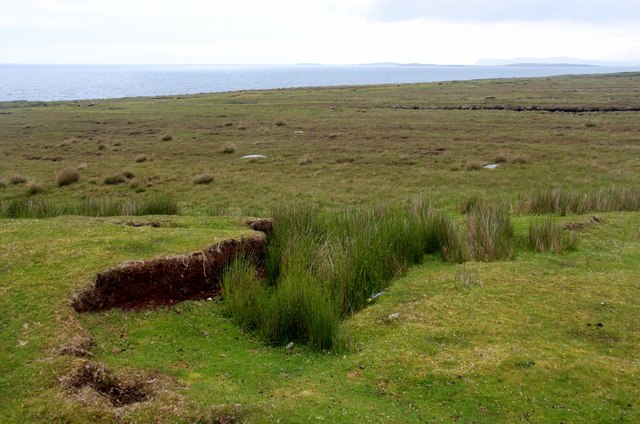
B8234 : The moors of Bloody Foreland
taken 8 years ago, 3 km from Brinlack, Co Donegal, Ireland
![Creative Commons Licence [Some Rights Reserved]](https://s1.geograph.org.uk/img/somerights20.gif)
|
· Find out How to reuse this image ·
Share:
|
|||||
| Start a discussion on B8234 | Suggest an update to this image | Contact the contributor | |||
Loading map... (JavaScript required)
- Grid Square
- B8234 (more nearby
 )
)
- Photographer
- Alan Reid (find more nearby)
- Date Taken
- Friday, 17 June, 2016 (more nearby)
- Submitted
- Friday, 8 July, 2016
- Geographical Context
- Subject Location
-
Irish:
 B 824 341 [100m precision]
WGS84: 55:9.2313N 8:16.5343W - Camera Location
-
Irish: B 822 340
- View Direction
- East-northeast (about 67 degrees)
This page has been viewed about 32 times.
View this location:
KML (Google Earth) ·
Google Maps ·
Bing Maps ·
Geograph Coverage Map ·
More Links for this image
·
Bing Maps ·
Geograph Coverage Map ·
More Links for this image