J3673 : New path, Grand Parade, Belfast (July 2016)
taken 8 years ago, 3 km from Belfast, Co Antrim, Northern Ireland
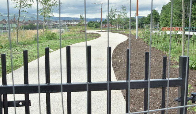
A major project involving a neglected river running through east Belfast. Officially described as: The Connswater Community Greenway is a £32 million investment in East Belfast. The project has been developed by the East Belfast Partnership and is funded by the Big Lottery Fund, Belfast City Council and the Department for Social Development.
The Connswater Community Greenway will create a 9km [5½ miles] linear park through East Belfast, following the course of the Connswater, Knock and Loop Rivers, connecting the open and green spaces and remediating the Connswater River itself. The Greenway will reconnect the communities of East Belfast and restore the rivers as community assets. It will create vibrant, attractive, safe and accessible parkland for leisure, recreation and community events and activities.
An announcement, on 2 July 2013, included the following Summer 2013 construction of the first phase of the Connswater Community Greenway Project will begin with work taking place in Orangefield and Victoria Parks. One of the key elements of work in Victoria Park is a new bridge link from Victoria Park to Airport Road.
An official press release dated 19 August 2014 contains the following: The final phase of the Connswater Community Greenway will begin later this year and will include; a C.S. Lewis themed public square at Holywood Arches, public art, new play areas, improvements to the rivers, flood defences, lighting, benches, landscaping, planting and 13kms of new paths for walking and cycling.
This is the link to the official Connswater Greenway website Link
![Creative Commons Licence [Some Rights Reserved]](https://s1.geograph.org.uk/img/somerights20.gif)
|
· Find out How to reuse this image ·
Share:
|
|||||
| Start a discussion on J3673 | Suggest an update to this image | Contact the contributor | |||
- Grid Square
- J3673, 309 images (more nearby
 )
)
- Photographer
- Albert Bridge (find more nearby)
- Date Taken
- Monday, 11 July, 2016 (more nearby)
- Submitted
- Tuesday, 12 July, 2016
- Geographical Context
- Place (from Tags)
- Subject Location
-
Irish:
 J 367 731 [100m precision]
WGS84: 54:35.3075N 5:53.1115W - Camera Location
-
Irish: J 367 731
- View Direction
- Northwest (about 315 degrees)
Other Tags