V3497 : Road west of Dingle
taken 8 years ago, 4 km SSE of Dunquin, Co Kerry, Ireland
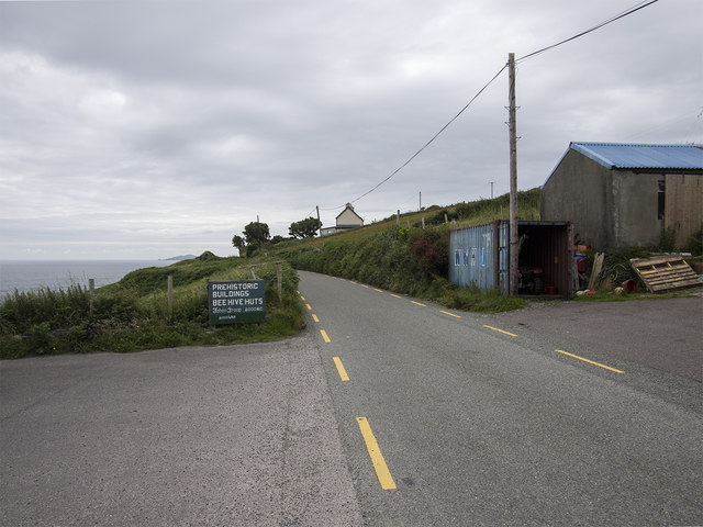
Road west of Dingle
R559 west of Dingle - part of the Slea Head drive.
![Creative Commons Licence [Some Rights Reserved]](https://s1.geograph.org.uk/img/somerights20.gif)
|
· Find out How to reuse this image ·
Share:
|
|||||
| Start a discussion on V3497 | Suggest an update to this image | Contact the contributor | |||
Loading map... (JavaScript required)
- Grid Square
- V3497, 36 images (more nearby
 )
)
- Photographer
- Rossographer (find more nearby)
- Date Taken
- Monday, 11 July, 2016 (more nearby)
- Submitted
- Friday, 22 July, 2016
- Geographical Context
- Primary Subject of Photo
- Place (from Tags)
- Subject Location
-
Irish:
 V 341 970 [100m precision]
WGS84: 52:6.0428N 10:25.2512W - Camera Location
-
Irish: V 341 970
- View Direction
- West-southwest (about 247 degrees)
Other Tags
This page has been viewed about 27 times.
View this location:
KML (Google Earth) ·
Google Maps ·
Bing Maps ·
Geograph Coverage Map ·
More Links for this image
·
Bing Maps ·
Geograph Coverage Map ·
More Links for this image