2016
HY4007 : Fields and water from Greenigoe
taken 8 years ago, near to Greenigoe, Mainland, Orkney Islands, Scotland
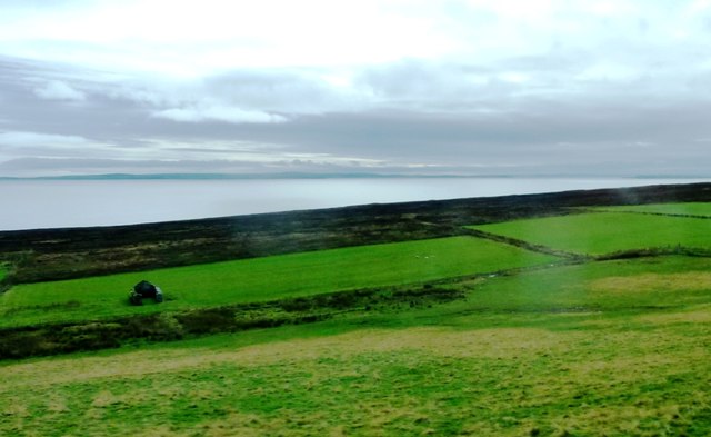
Fields and water from Greenigoe
Note the ruined building. Taken from A964.
 Map © Crown Copyright")
TIP: Click the map for more Large scale mapping
- Grid Square
- HY4007, 25 images (more nearby 🔍)
- Photographer
- Clint Mann (more nearby)
- Date Taken
- Tuesday, 13 September, 2016 (more nearby)
- Submitted
- Thursday, 6 October, 2016
- Subject Location
-
OSGB36:
 HY 4073 0726 [10m precision]
WGS84: 58:56.9063N 3:1.9096W - Camera Location
-
OSGB36: HY 4067 0741
- View Direction
- South-southeast (about 157 degrees)