J3676 : Radar, Belfast City Airport (October 2016)
taken 8 years ago, 4 km NE of Belfast, Co Antrim, Northern Ireland
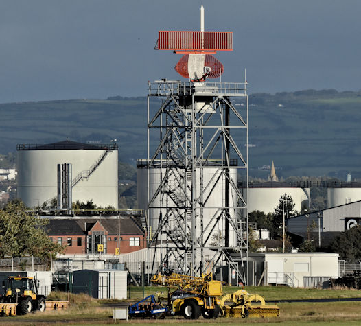
Originally opened in 1937 when it was built as part of the Short Brothers and Harland Limited aircraft factory. The present airport opened to scheduled passenger flights in 1983 as Belfast Harbour Airport. The terminal buildings were temporary ones later extended and improved. The present terminal, close to the Sydenham bypass, opened in 2001.
Aer Lingus operates to London Heathrow.
British Airways to London Heathrow.
Flybe to Aberdeen, Birmingham, Cardiff, East Midlands, Edinburgh, Exeter and Newquay, Glasgow, Inverness, Leeds/Bradford, Liverpool, London City, Manchester, Doncaster/Sheffield and Southampton.
KLM to Amsterdam.
Loganair to Carlisle.
The airport is also used by a variety of operators for business and medical flights.
This link is to the official City Airport website Link.
To search this shared description for a particular registration go to here Link
The photographs submitted by me appear as a matter of neutral record only. I appreciate that many find the airports presence unacceptable. I have no connection with the airport or any group opposed to it.
I cannot enter into correspondence or supply photographs for any purpose.
![Creative Commons Licence [Some Rights Reserved]](https://s1.geograph.org.uk/img/somerights20.gif)
|
· Find out How to reuse this image ·
Share:
|
|||||
| Start a discussion on J3676 | Suggest an update to this image | Contact the contributor | |||
- Grid Square
- J3676, 338 images (more nearby
 )
)
- Photographer
- Albert Bridge (find more nearby)
- Date Taken
- Thursday, 13 October, 2016 (more nearby)
- Submitted
- Friday, 14 October, 2016
- Geographical Context
- Place (from Tags)
- Primary Subject of Photo
- Subject Location
-
Irish:
 J 368 762 [100m precision]
WGS84: 54:36.9268N 5:52.9160W - Camera Location
-
Irish: J 371 755
- View Direction
- North-northwest (about 337 degrees)
Other Tags