J1560 : Tree, Moira (October 2016)
taken 8 years ago, near to Moira, Co Down, Northern Ireland
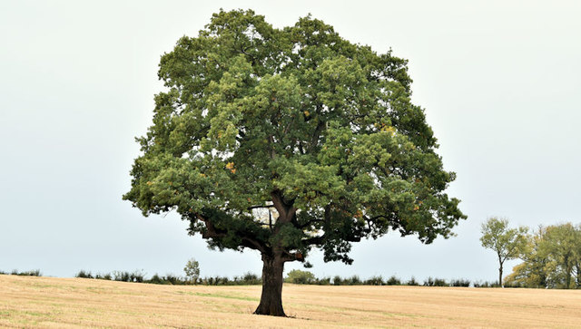
Tree, Moira (October 2016)
A solitary tree, in a field of stubble, beside the entrance road at Moira Demesne.
Moira Demesne
Moira demesne, originally the grounds of the 17th castle built by Sir Arthur Rawdon, formerly the home of the Earls of Moira, is now a public park.
![Creative Commons Licence [Some Rights Reserved]](https://s1.geograph.org.uk/img/somerights20.gif)
|
· Find out How to reuse this image ·
Share:
|
|||||
| Start a discussion on J1560 | Suggest an update to this image | Contact the contributor | |||
Loading map... (JavaScript required)
- Grid Square
- J1560, 114 images (more nearby
 )
)
- Photographer
- Albert Bridge (find more nearby)
- Date Taken
- Sunday, 16 October, 2016 (more nearby)
- Submitted
- Sunday, 16 October, 2016
- Geographical Context
- Primary Subject of Photo
- Subject Location
-
Irish:
 J 150 609 [100m precision]
WGS84: 54:29.0100N 6:13.5005W - Camera Location
-
Irish: J 151 607
- View Direction
- North-northwest (about 337 degrees)
Other Tags
This page has been viewed about 45 times.
View this location:
KML (Google Earth) ·
Google Maps ·
Bing Maps ·
Geograph Coverage Map ·
More Links for this image
·
Bing Maps ·
Geograph Coverage Map ·
More Links for this image